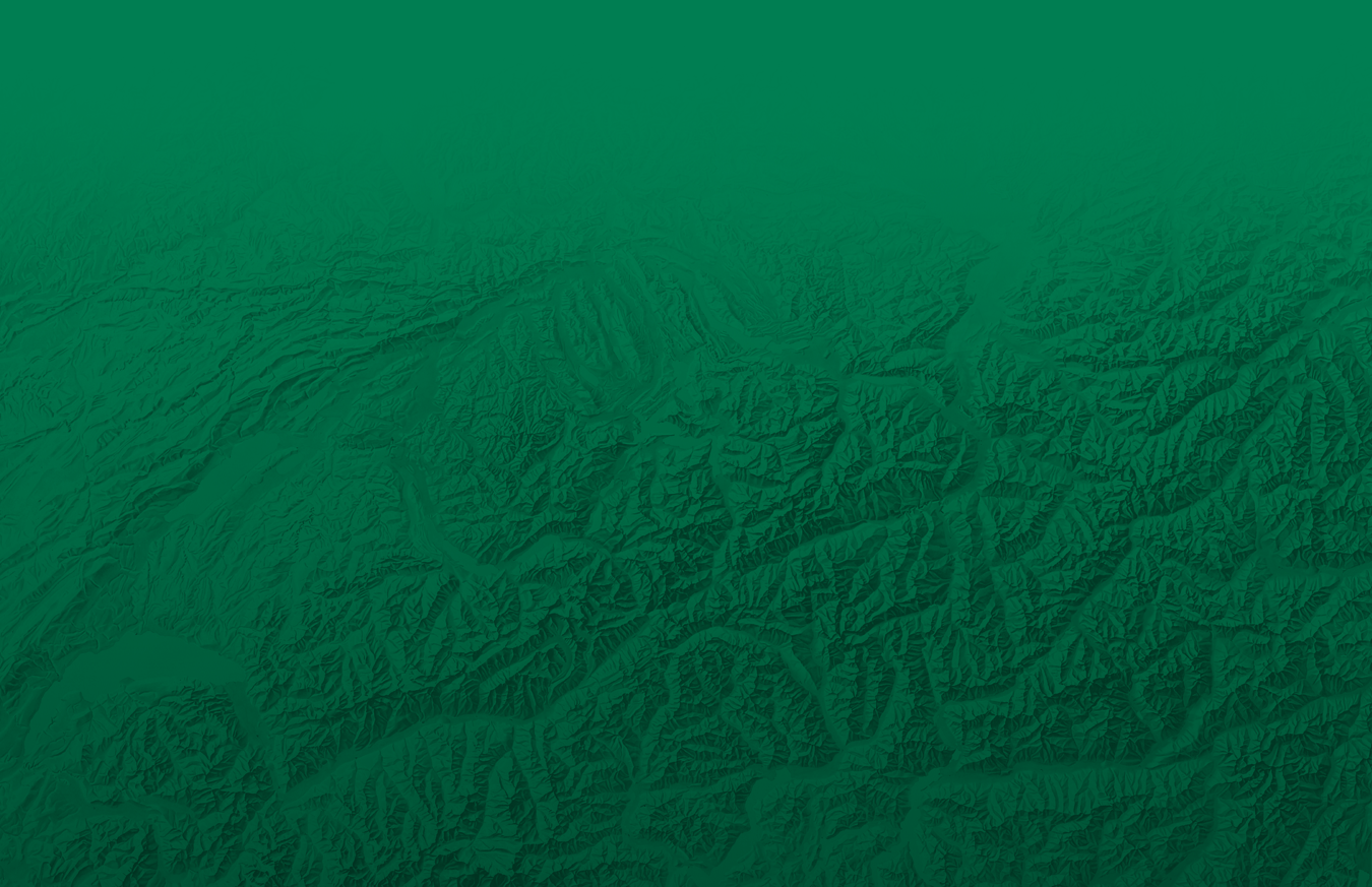


Panoramakarten

4 Vallées
Thyon - Les Collons - Veysonnaz - Nendaz - La Tzoumaz - Isérables - Verbier
Carte panoramique avec itinéraires pédestres / Panoramakarte mit Wanderwegen /
Carta panoramica con sentieri turistici / Panoramic map with hiking tracks
Die bildhafte Landschaft auf einen Blick. Wanderwege mit Marschzeiten und Richtungsangaben. Touristische Informationen.
Il paesaggio pittoresco a colpo d'occhio. Sentieri escursionistici con tempi di marcia e direzione. Informazioni turistiche.
The pictorial landscape at a glance. Hiking trails with walking time for both direction. Tourist information.

Alpes Vaudoises
Waadtländer Alpen - Saanenland / Alpi Vodesi / Vaud Alps
Carte panoramique avec itinéraires pédestres / Panoramakarte mit Wanderwegen /
Carta panoramica con sentieri turistici / Panoramic map with hiking tracks
Panoramakarte mit Wanderwegen und Velotouren. Mountain Bike Routen.
Carta panoramica con i sentieri per escursioni e gite in bicicletta. Mountain Bike Route.
Panoramic map with hiking trails and bicycle tours. Mountain Bike Tours.

Fribourg
Canton de Fribourg / Kanton Freiburg / Cantone di Friburgo / Canton Fribourg
Carte panoramique / Panoramakarte / Carta panoramica / Panoramic map
Panoramakarte mit Wanderwegen und Velotouren
Carta panoramica con i sentieri per escursioni e gite in bicicletta
Panoramic map with hiking trails and bicycle tours

Mont Blanc
Tour du Mont Blanc
Carte panoramique avec itinéraires pédestres / Panoramakarte mit Wanderwegen /
Carta panoramica con sentieri turistici / Panoramic map with hiking tracks
Die bildhafte Landschaft auf einen Blick. Wanderwege mit Marschzeiten und Richtungsangaben.
Il paesaggio pittoresco a colpo d'occhio. Sentieri escursionistici con tempi di marcia e direzione.
The pictorial landscape at a glance. Hiking trails with walking time for both direction.

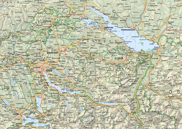
Suisse Romande
Suisse Romande - Franche-Comté - Jura
Carte panoramique / Panoramakarte / Carta panoramica / Panoramic map
Die bildhafte Landschaft auf einen Blick. Wanderwege, Radwanderwege und touristische Informationen.
Il paesaggio pittoresco a colpo d'occhio. Sentieri escursionistici, piste ciclabili e informazioni turistiche.
The pictorial landscape at a glance. Hiking trails, bicycle trails and tourist information.

Val d'Anniviers
Val d'Anniviers - Val de Zinal - Val de Moiry
Carte panoramique avec itinéraires pédestres / Panoramakarte mit Wanderwegen /
Carta panoramica con sentieri turistici / Panoramic map with hiking tracks
Die bildhafte Landschaft auf einen Blick. Wanderwege mit Marschzeiten und Richtungsangaben.
Il paesaggio pittoresco a colpo d'occhio. Sentieri escursionistici con tempi di marcia e direzione.
The pictorial landscape at a glance. Hiking trails with walking time for both direction.

Val d'Hérens
Val d'Hérens - Val d'Arolla - Val d'Hérémence
Carte panoramique avec itinéraires pédestres / Panoramakarte mit Wanderwegen /
Carta panoramica con sentieri turistici / Panoramic map with hiking tracks
Die bildhafte Landschaft auf einen Blick. Wanderwege mit Marschzeiten und Richtungsangaben.
Il paesaggio pittoresco a colpo d'occhio. Sentieri escursionistici con tempi di marcia e direzione.
The pictorial landscape at a glance. Hiking trails with walking time for both direction.

Valais / Wallis
Valais / Wallis / Vallese
Carte panoramique / Panoramakarte / Carta panoramica / Panoramic map
Die bildhafte Landschaft auf einen Blick mit touristischen Informationen.
Il paesaggio pittoresco a colpo d'occhio tutte le informazioni turistiche.
The pictorial landscape at a glance with tourist information.

Vallée du Trient
Vallée du Trient - Dents du Midi - Clacier du Trient
Carte panoramique avec itinéraires pédestres / Panoramakarte mit Wanderwegen /
Carta panoramica con sentieri turistici / Panoramic map with hiking tracks
Die bildhafte Landschaft auf einen Blick. Wanderwege mit Marschzeiten und Richtungsangaben.
Il paesaggio pittoresco a colpo d'occhio. Sentieri escursionistici con tempi di marcia e direzione.
The pictorial landscape at a glance. Hiking trails with walking time for both direction.